Introduction

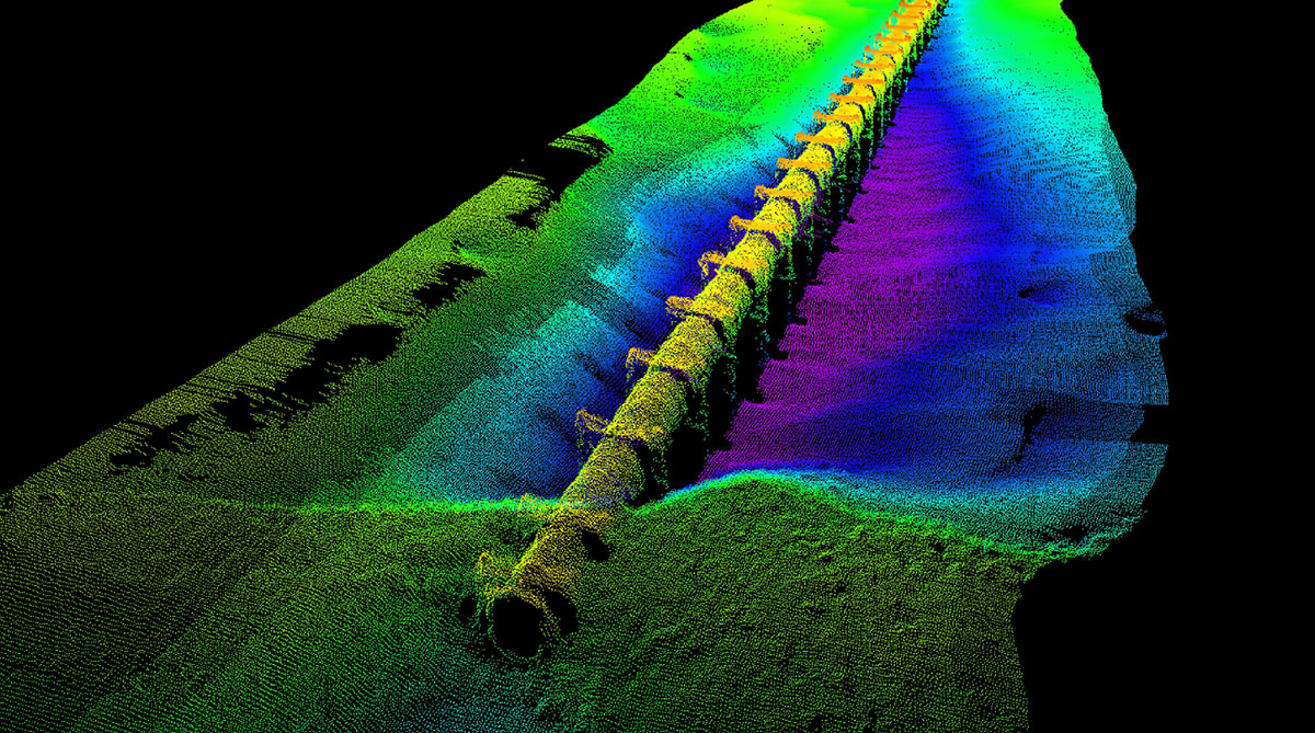
Bathymetric surveys are essential for understanding underwater topography. These surveys help in mapping the depths and shapes of underwater terrain, providing vital data for various industries.
Importance of Bathymetric Surveys
Bathymetric surveys are crucial for navigation, construction of underwater structures, environmental monitoring, and much more. They provide critical data that can help prevent accidents and ensure the safety of marine operations.
Survey Methods
Echo Sounding
The most common method, where sound waves are sent to the seabed, and their return time is measured to calculate depth.
Multibeam Sonar
A more advanced technique that uses multiple beams to cover a wider area, providing detailed maps of the seafloor.
LiDAR
Light Detection and Ranging is used for shallow waters, using laser light to measure distances.
Applications of Bathymetric Surveys
Marine Navigation
Ensuring safe passage for ships by identifying hazards and determining the best routes.
Coastal Engineering
Designing ports, harbors, and other coastal structures with accurate underwater maps.
Environmental Studies
Monitoring ecosystems, studying coral reefs, and assessing the impact of human activities on marine environments.
Oil & Gas Exploration
Identifying suitable sites for drilling and laying pipelines under the sea.
Famous Bathymetric Survey Projects
Some notable bathymetric surveys include:
- Mapping the Titanic: After the Titanic was discovered in 1985, detailed bathymetric surveys were conducted to map the wreckage site, providing insights into its final resting place.
- Great Barrier Reef Surveys: Extensive bathymetric mapping of the Great Barrier Reef has been crucial for its conservation, helping scientists understand the reef's structure and monitor its health.
- Mariana Trench Exploration: The deepest part of the world's oceans, the Mariana Trench, has been mapped using advanced bathymetric techniques, revealing the intricate details of this mysterious area.